Interpreting Mapping And Modern Marine Electronics ( To Catch More Fish )

Understanding mapping is a critical part of fishing and boating! Whether you're sitting on the couch looking for your next spot to fish, or on the boat navigating a new waterway, an understanding of mapping makes you more effective. Today we're covering some of the biggest tricks we use to navigate waters, find fish, and build patterns, very quickly.

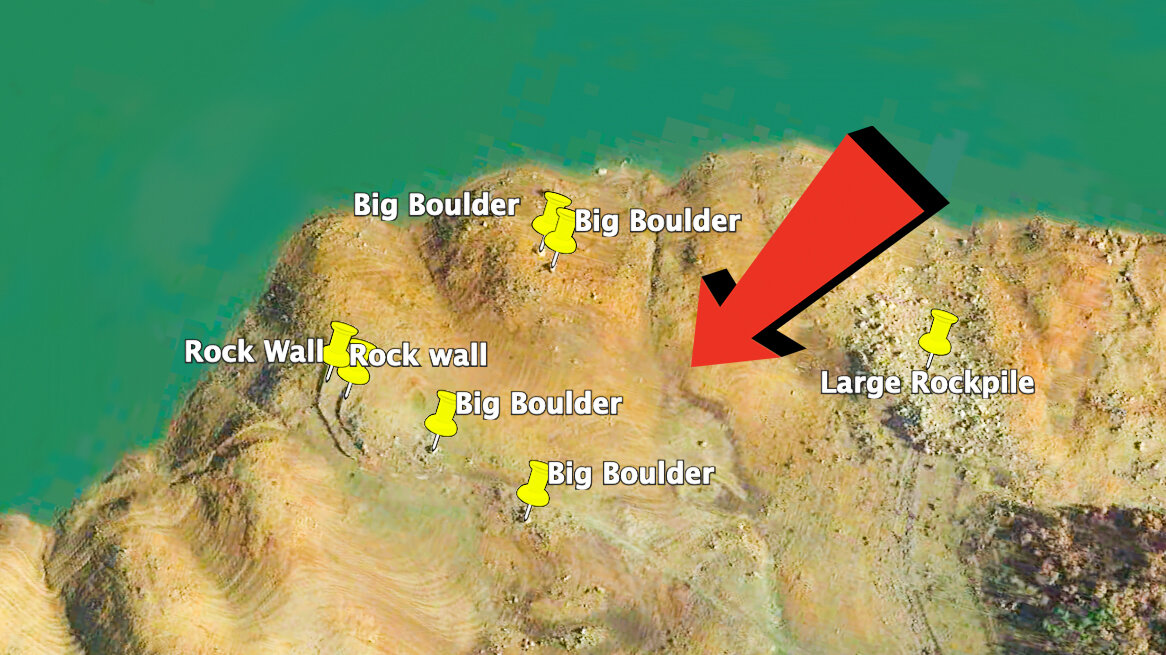
Whether you're a novice or an expert, there is always more to know. So today we're covering everything from the basics of what a hump, point, and creek channel look like, to how we replicate a pattern across a new fishery. We're also covering some of the best tricks that use Google Maps and Google Earth to find secret spots on reservoirs.

Below you'll find links to the paper maps, mapping software, and electronics that we use on our own boats and equipment. All the links go directly to Tackle Warehouse where you can see detailed photos and descriptions of each item.


OUR ELECTRONICS...

•Humminbird Apex 13 Fish Finder: https://bit.ly/3pdaK1q

•Humminbird Solix 15 Fish Finder: https://bit.ly/2Hazsej


MAPPING FOR MODERN ELECTRONICS...

•Humminbird Lakemaster VX Premium Charts: https://bit.ly/3z2RFmK

(This is the Card Used In The Video)


•Humminbird Lakemaster VX Charts: https://bit.ly/3VOJ68y


•Garmin Navionics Vision+ Lake Maps: https://bit.ly/3PzMRxI


•Garmin Navionics Platinum+ Lake Maps: https://bit.ly/3LPfCn0


PAPER MAPS...

•Fishing Hot Spots Topographic Maps: https://bit.ly/2FgBWHi


•Fish N Maps Topographic Maps: https://bit.ly/2QXY5gt


TACTICALBASSIN LURE DESIGNS (AND APPAREL)

We have a variety of custom lure designs and apparel available! Everything from Swimbaits and crankbaits, to hats and hoodies! Its all available direct through Tackle Warehouse with fast shipping. See it here... 

TacticalBassin Lure Designs: http://bit.ly/38YpPIz

Finding Secret Fishing Spots With Google Earth! (Actual Favorite Waypoints Shown!)

There are so many Google Earth Tricks fishermen don't know how to use! With our cross country move we've been spending a ton of time on the computer preparing to explore new lakes. We've found a bunch of new spots using this method and today we're showing you how to do the same. Come along to some of our favorite fisheries and see our best spots as you learn the methods! (If you're a California angler, get ready to write down some coordinates!)

Every angler knows you can jump on google maps and get a good idea of what a lake looks like before you arrive. But few anglers know how to remove distortion from the map, jump between different water levels and times of year, drop waypoints, and export all of it to the electronics on your boat. Its amazing how far technology has come and if you're not progressing, you're falling behind. 

Google Earth is just one of the tools you have available as an angler today. Modern electronics have seen huge advancements as have the mapping cards that we use with those units. Google Earth is a free program that any angler with a computer can use. We combine that program with a few different electronics to maximize our time on the water. Below you'll find links to a few of our favorite items from different brands to help maximize your time on the water. 

Our Electronics and Mapping... 

-Humminbird Solix 15 CHIRP G2 Depth Finder: http://bit.ly/2Hazsej

-Lakemaster Plus Digital Charts: http://bit.ly/2Dk5Erc

Budget Alternatives... 

Humminbird- Helix 7 CHIRP G3 Sonar: http://bit.ly/2SoFl8a

Lowrance- Elite 7 Ti2 Fishfinder: https://bit.ly/3aY4m4S

Alternative Mapping... 

Navionics Hot Maps Platinum: http://bit.ly/2ZitTiR

NEW Tactical Bassin Apparel... 

TacticalBassin Reaper Hoodie: http://bit.ly/2TwBWs7

TacticalBassin Shadow Hoodie: http://bit.ly/2FVD9Rs

TacticalBassin Sun Shirt: http://bit.ly/2TvFMBD

TacticalBassin Hooded Sun Shirt: http://bit.ly/38cVi9G

google earth web.jpg